
Calendrier d'Adam
Michael Tellinger presents this site as "the oldest astronomical monument in the world" (75,000 to 300,000 years old, built by an advanced civilization linked to the Anunnaki). Archaeology refutes this: these are Bokoni agropastoral ruins (16th–19th c.) — no valid dating exceeds a few centuries.
- Lieu
- South Africa · Afrique
- Civilisation
- —
- Période
- Ruines en pierre agropastorales Bokoni, XVIe–XIXe siècle apr. J.-C. ; site abandonné vers 1830 lors du Mfecane
- Technique
- Cercle et arrangements de blocs de dolomite dressés ; enclos à bétail (kraal), terrasses agricoles et passages murés, caractéristiques du paysage agropastoral Bokoni du Mpumalanga
- Études
la preuve du faux est documentée. Photographie révisable de l’état des recherches, jamais un jugement.
→ Situer sur la carteLes éléments du site
Où se trouve le site
25.595° S, 30.289° E · vue satellite
Ce que dit la science
Les ruines Blaauboschkraal sont attribuées par consensus aux Bokoni, peuple agropastoral actif entre ~1500 et 1820 apr. J.-C. : Delius, Maggs & Schoeman (2012) établissent via fouilles et traditions orales une périodisation excluant toute origine antérieure au XVIe siècle.
Le site est officiellement désigné « Blaauboschkraal Stone Ruins » et classé au patrimoine sud-africain ; nulle autorité patrimoniale ni institution archéologique ne retient la datation Tellinger ou l'hypothèse astronomique avancée.
Delius & Schirmer (2014, Journal of African History) démontrent que les terrasses Bokoni s'inscrivent dans un système économique précolonial ouvert (XVIe–XIXe s.) connecté aux routes commerciales de l'océan Indien — contexte incompatible avec une civilisation disparue de 75 000 ans.
Les archéologues Van Hoepen (1939), Mason (1962, 1968), Evers (1973) et Maggs (1995) ont documenté ces sites de manière indépendante depuis les années 1930 sans jamais relever d'anomalie chronologique ; Tellinger n'invoque aucune datation instrumentée publiée pour étayer ses chiffres.
Ce qui reste inexpliqué
Relié à
Études & sources
Continuer l’exploration
 Réfuté
Route de Bimini
At 5 meters' depth off North Bimini, a 0.8 km row of rectangular limestone blocks looks like a paved road. Geology settles it clearly: it is natural beachrock, a tropical phenomenon documented throughout the Caribbean basin. The controversy was born in 1968 from a calendar coincidence with an Edgar Cayce prophecy, and from our brain's ability to see order where there is only fluid physics.
 Réfuté
Sphères de Klerksdorp
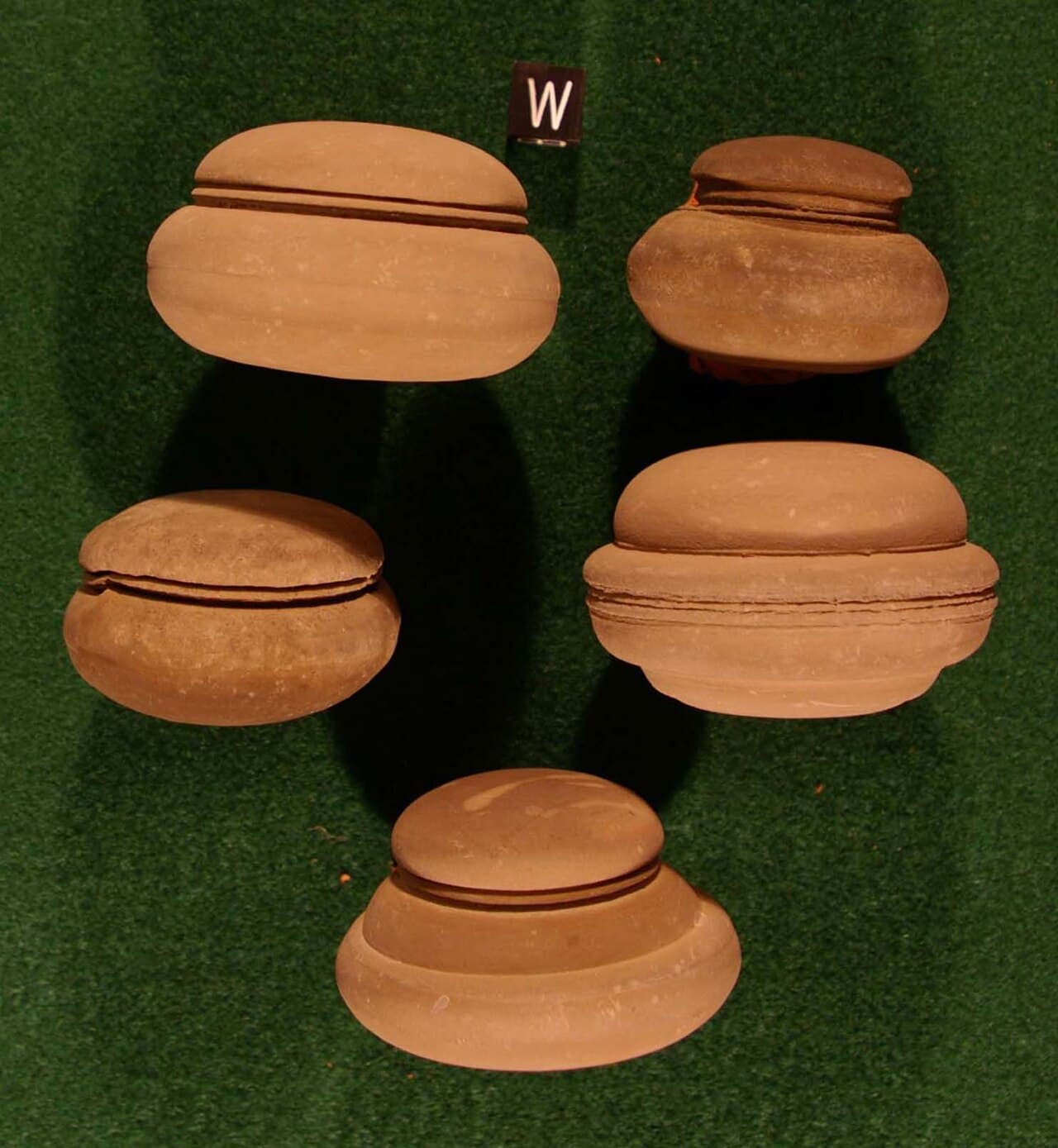
Metallic-looking spheres extracted from the pyrophyllite mines of Ottosdal (South Africa), about 3 billion years old and bearing parallel grooves, fueled the myth of an OOPArt manufactured by a civilization or extraterrestrials. In reality, these are ordinary geological concretions — pyrite, hematite or wollastonite — formed by aqueous precipitation in sediments; the grooves are merely imprints of fine sedimentary laminations, explained since 1988.
Vase de Dorchester
In June 1852, Scientific American relayed a short item from the Boston Transcript: a black-powder blast in Dorchester (Massachusetts) had allegedly uncovered a metallic vase in Precambrian rock — imagined proof of a vanished civilization. The refutation is categorical: the object is identified as a 19th-century Indian bidriware hookah base (a twin piece is catalogued at the Victoria & Albert Museum, no. 137-1852); it fell into the blast debris rather than being extracted from the rock, and the 1852 article itself gives no geological dating.