
Dhar Tichitt
Dhar Tichitt is one of the oldest clusters of agglomerated dry-stone settlement in sub-Saharan Africa, contemporary with the great civilizations of the Mediterranean Bronze Age. The region is one of the recognized centers of domestication of pearl millet (Pennisetum glaucum), attested as early as the 2nd millennium BC by grain impressions on pottery. A link of cultural and demographic continuity between the populations of Tichitt and the founders of the Ghana Empire is suggested by archaeology and linguistics, but remains unproven — the material traces fade within the hiatus separating them. The gradual abandonment of the sites between ~300 BC and the start of our era correlates with Saharan aridification, but the exact mechanisms — migration, syncretism with proto-Berber groups, or collapse — still divide researchers.
- Lieu
- Mauritania · Afrique
- Civilisation
- Culture de Tichitt-Walata (proto-Soninké possibles)
- Période
- Néolithique tardif / Âge du Bronze saharien, ca. 4000–2300 BP (~2000–300 av. J.-C.), le long des falaises du Tagant en Mauritanie centro-méridionale.
- Technique
- Architecture en pierre sèche : enceintes concentriques, compounds collectifs, rues et places — plus de 300 établissements documentés le long des falaises (dhars) ; agriculture du mil perlé (Pennisetum glaucum) domestiqué in situ ; économie agropastorale combinant bovins, caprinés et exploitation de plans d'eau saisonniers.
- Études
appui réel, pas tranché. Photographie révisable de l’état des recherches, jamais un jugement.
→ Situer sur la carteLes éléments du site
Où se trouve le site
18.452° N, 9.405° O · vue satellite
Ce que dit la science
Plus de 300 établissements à architecture en pierre sèche identifiés le long des dhars (Tichitt, Walata, Nema, Tagant), occupés entre ca. 2000 et 300 av. J.-C. — Munson 1971 ; McIntosh et al. 2026.
14 datations AMS sur charbons curatés des fouilles Munson 1968 (McIntosh, Casanova & Gauthier 2026) affinent la chronologie et révèlent des hiatus que les dates conventionnelles masquaient.
Domestication du mil perlé (Pennisetum glaucum) attestée par des impressions sur poteries dès le début du IIe millénaire av. J.-C. à Oued Chebbi (Dhar Walata) — Amblard & Pernes 1989 ; Holl 2009.
Organisation socio-économique différenciée visible dans l'organisation spatiale des sites (zones d'habitat distinctes, espaces de stockage, enclos à bétail) — Holl 1985, 2009.
Corrélation entre l'aridification progressive du Sahara à partir de ~2500 BP et la contraction puis l'abandon des sites, avec migration probable vers le sud-est en direction des lacs du Niger moyen — MacDonald 2015.
Ce qui reste inexpliqué
Relié à
Études & sources
Continuer l’exploration
 En débat
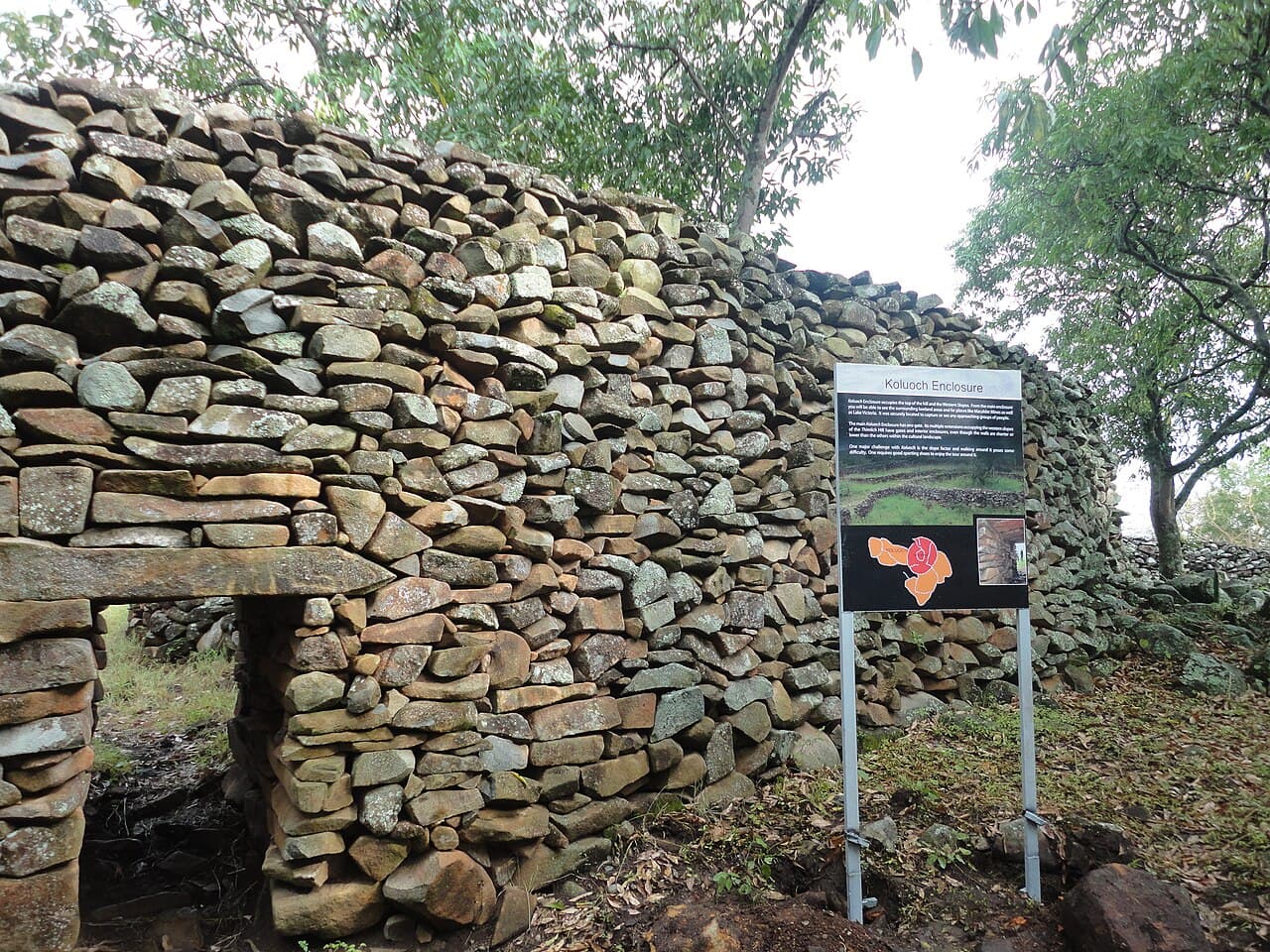
Thimlich Ohinga
Double-faced dry-stone enclosures, without mortar, near Lake Victoria. Built between the 15th and 16th centuries by Bantu communities and later the Luo. Who started them, who continued them?
 En débat
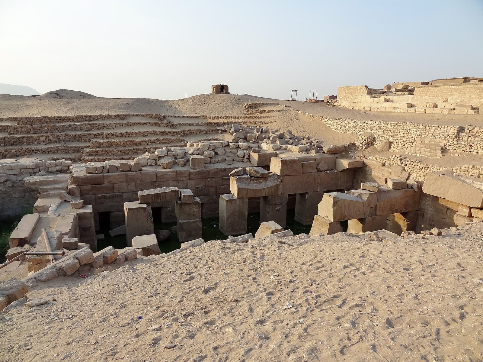
Osireion d'Abydos
A massive granite structure buried 13 meters under the sand, flooded by the water table for centuries. Built by Seti I as a cenotaph of Osiris — the theory of an older site, advanced by Naville in 1914, has since been refuted but is still sometimes cited.
 Consensus établi
Églises de Lalibela — Biete Ghiorgis
Eleven churches carved from a single block of rock, with no masonry added. At Lalibela, construction does not add up — it subtracts. Biete Ghiorgis, the most perfect, descends into a trench 25 m to a side: a three-dimensional Greek cross cut into the tuff, with its gutters, its light shafts and its drainage channels, still in use 800 years later.